
Optical data#
You will find an optical tutorial here.
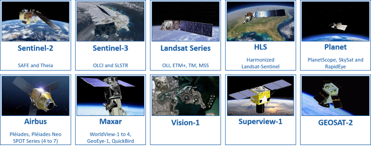
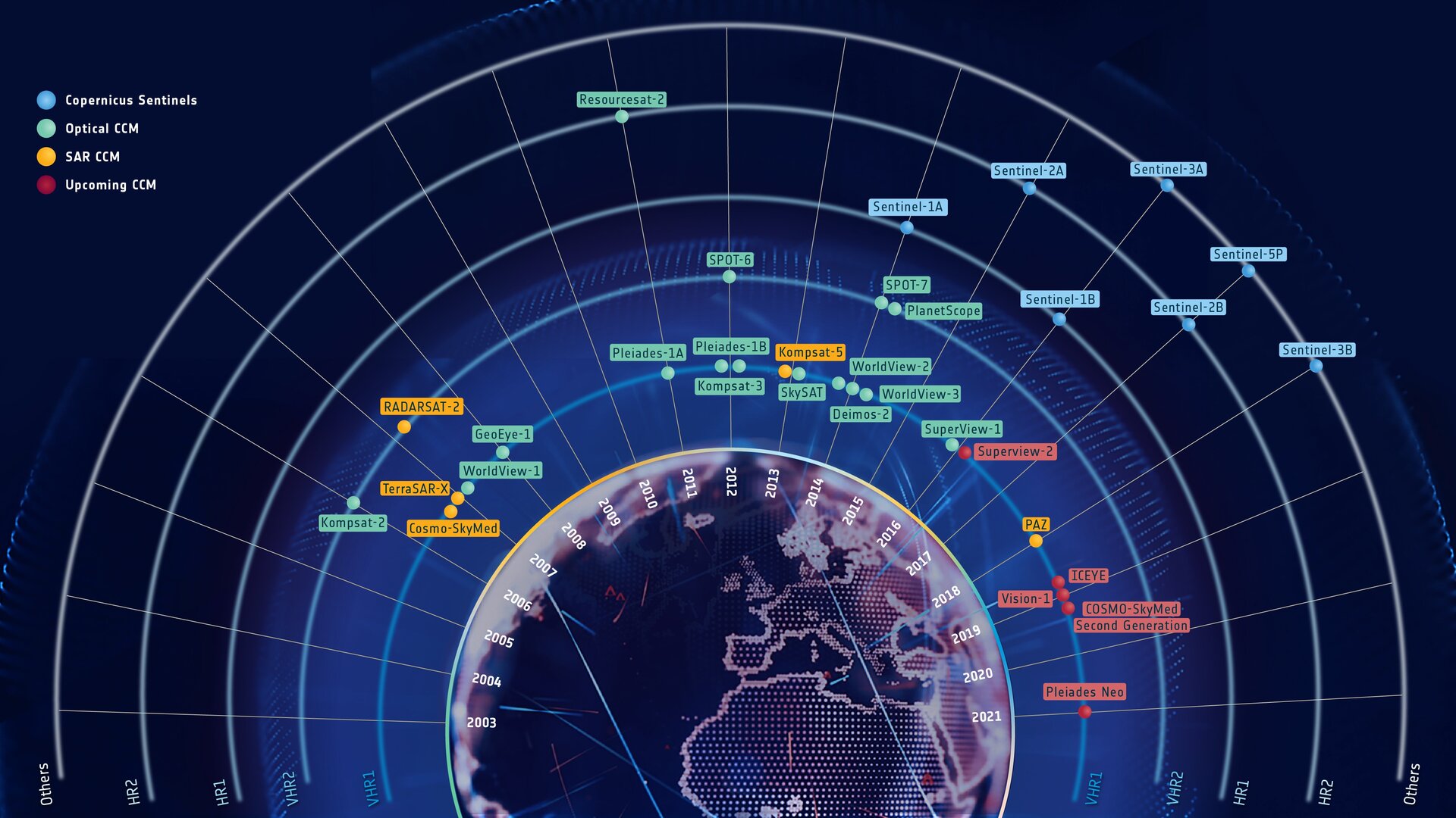
Implemented optical constellation#
The product resolution is the one given in Data Access Portfolio (2014-2022, section 6.2). The Data Access Portfolio Document presents the offer of the datasets and data access services that are made available to the Copernicus Users in response to their Earth Observation data requirements. However, especially for SAR data, the default pixel size of GRD bands is different from the product resolution!
Constellations |
Class |
Use archive |
|---|---|---|
Sentinel-2 |
✅ |
|
Sentinel-2 on AWS cloud |
- |
|
Sentinel-2 Theia |
✅ |
|
Vénμs |
✅ |
|
Sentinel-3 SLSTR |
✅ |
|
Sentinel-3 OLCI |
✅ |
|
Landsat 8/9 OLI-TIRS |
✅ |
|
Landsat 7 ETM |
COL1*: ❌, COL2: ✅ |
|
Landsat 4/5 TM |
COL1*: ❌, COL2: ✅ |
|
Landsat 1-5 MSS |
COL1*: ❌, COL2: ✅ |
|
Harmonized Landsat-Sentinel |
✅ |
|
PlanetScope |
✅(❌ if multiple subdatasets) |
|
SkySat |
✅(❌ if multiple subdatasets) |
|
RapidEye |
✅(❌ if multiple subdatasets) |
|
Pleiades-Neo |
✅ |
|
Pleiades |
✅ |
|
Vision-1 |
✅ |
|
SPOT 4/5 |
✅ |
|
SPOT 6/7 |
✅ |
|
Vantor** |
✅ |
|
SuperView-1 |
✅ |
|
GEOSAT-2 |
✅ |
|
Aleph-1 (Satellogic) |
✅ |
* Archived Landsat Collection-1 are not managed because of the tar.gz format, which is too slow to process. It is better to work on the extracted product. Landsat-9 Collection-1 products don’t exist.
** *Vantor satellites: Worldview Legion, 2, 3, 4 and GeoEye-1 (but WorldView-1, QuickBird should work, but they don’t have been tested).
Warning
Satellites products that cannot be used as archived have to be extracted before use.
Constellations |
Product Types |
Default Pixel Size |
|---|---|---|
Sentinel-2 |
L1C & L2A & L2Ap |
10 m |
Sentinel-2 on AWS Cloud |
L2A (for now) |
10 m |
Sentinel-2 Theia |
L2A |
10 m |
Vénμs |
L2A |
5 m |
Sentinel-3 SLSTR |
RBT |
300 m |
Sentinel-3 OLCI |
EFR |
500 m |
Landsat 8/9 OLI-TIRS |
Level 1 & 2 |
30 m |
Landsat 7 ETM |
Level 1 & 2 |
30 m |
Landsat 4/5 TM |
Level 1 & 2 |
30 m |
Landsat 1-5 MSS |
Level 1 |
60 m |
Harmonized Landsat-Sentinel |
L30 & S30 |
30 m |
PlanetScope |
L3A & L3B |
3 m |
SkySat |
(Collect Product) ortho_* |
0.5 m |
RapidEye |
L3A |
5 m |
Pleiades-Neo |
SEN**, PRJ, ORT & MOS |
0.3 m (PAN), 1.2 m (MS) |
Pleiades |
SEN**, PRJ, ORT & MOS |
0.5 m (PAN), 2 m (MS) |
Vision-1 |
PRJ & ORTP |
0.9 m (PAN), 3.5 m (MS) |
SPOT 4/5 |
L1A, L1B, L2A |
10 m (PAN), 20 m (MS) |
SPOT 6/7 |
SEN**, PRJ, ORT & MOS |
1.5 m (PAN), 6 m (MS) |
Vantor* |
Standard & Ortho |
0.3 to 0.5 m (PAN), 1.2 to 2.0 m (MS) |
SuperView-1 |
L1B & L2A |
0.5 m (PAN), 2 m (MS) |
GEOSAT-2 |
L1B & L1C & L1D & L1S |
0.4 m (PAN), 2 m (MS) for L1D data |
Aleph-1 (Satellogic) |
L1B & L1D & L1D-SR |
0.7 m for L1D data |
* *Vantor satellites: Worldview Legion 2, 3, 4 and GeoEye-1 (but WorldView-1, QuickBird should work, but they don’t have been tested).
** ⚠ DIMAP SEN products are orthorectified using RPCs and not the rigorous sensor model. Shift can occur. Please refer to this issue.
Note
Note that for the rest of this documentation:
HLS.S30 and Sentinel-2 data are equivalent (with the only difference of a 30 m gsd).
HLS.L30 and Landsat-OLI-TIRS data are equivalent.
The goal of EOReader is to implement every constellation that can be used in the Copernicus Emergency Management Service.
The constellations that can be used during CEMS activations are (as of 09/2021):
Optical bands#
The following bands are available in EOReader but may not be available for all constellations.
Warning
EOReader loads bands in UTM. VHR bands can be orthorectified but EOReader needs a DEM for that.
Be sure to position the environment variable EOREADER_DEM_PATH to the DEM you want.
Satellite bands#
Note
Optical bands are always loaded in reflectance, except for brilliance temperature bands that are left as is.
However, the user can ask for bands “as is” by using the TO_REFLECTANCE keyword with the load and stack functions.
It will give the bands in the provider format (either DN, radiance or reflactance in uint16…).
See the optical notebook to see how to implement it.
These bands will be cleaned according to the user’s needs. By default, only the pixels outside the detectors footprints are set to nodata. Methods to clean optical bands are best described in the notebook about the optical cleaning methods.
Band names#
These bands are mainly based on Sentinel-2 bands.
The names are the ones from Sentinel-2, even if sometimes it can be confusing (especially for Coastal Aerosol and SWIR Cirrus bands).
Some additions to the Sentinel-2 bands have been made (YELLOW, PAN…):
DEEP_BLUE: Deep Blue (same goal as Coastal Aerosol, mainly for VHR data, centered around 420 nm)CA: Coastal Aerosol (mainly for HR data, centered around 440 nm)GREEN_1: First Green band of PlanetScope 8 bands, mapped to the fifth band of Sentinel-3 OLCIVRE_1: Vegetation Red Edge 1VRE_2: Vegetation Red Edge 2VRE_3: Vegetation Red Edge 3NIR: Near InfraredNARROW_NIR: Spectrally resolved Narrow Near Infrared (band8AforSentinel-2, same asNIRfor other sensors)WV: Water vapourSWIR_CIRRUS: Cirrus bandSWIR_1: Short Wave Infrared 1SWIR_2Short Wave Infrared 2PAN: PanchromaticTIR_1: Thermal Infrared 1TIR_2: Thermal Infrared 2
Note
Note that bands that are not mapped can still be used (i.e. for Sentinel-3 OLCI and SLSTR).
They will be called by their true name (i.e. F1 or Oa05). However,
the mapped band will have to be called with their mapped name, i.e. BLUE rather than Oa04 for Sentinel-3 OLCI.
But the bands that are not present in the bands.__init__ file won’t be recognized.
Optical band mapping between constellations#
Thermal bands are not represented in this plot. Here is the table of the mapping:
Bands names (alias) |
Thermal IR ( |
Thermal IR ( |
|---|---|---|
Sentinel-3 SLSTR |
8 (1km) |
9 (1km) |
Landsat OLI-TIRS (8-9) |
10 (100m) |
11 (100m) |
Landsat ETM (7) |
6 (60m) |
6 (60m) |
Landsat TM (5-4) |
6 (120m) |
6 (120m) |
Landsat MSS (only Landsat-3) |
8 (240m) |
8 (240m) |
Not all bands of these constellations are mapped in EOReader.
However, they can still be used by using directly their name (i.e. F1 or Oa05)*
Sentinel-2 L2A specific bands#
EOReader can now load (since v0.22.0) Sentinel-2 L2A specific bands (quality assurance bands) as any other band:
Aerosol optical thickness (
AOT)Scene average water vapour (
WVP)Scene classification layer (
SCL)
Cloud bands#
Maximum 5 cloud bands are available, according to the files provided in the data. All the bands are rasterized and orthorectified if needed (for Sentinel-2 or 3 data for example), ready to be stacked.
The only difference with the other bands is that the cloud bands are provided in uint8 and have a nodata equal to 255.
RAW_CLOUDS: Raw Cloud file as provided (the only changes are the orthorectification and rasterization). Can provide other flags, or cloud probability.CLOUDS: Cloud presence (1) or absence (0). If clouds are provided in probabilities, their presence is determined according to Landsat definition (proba> 67%)CIRRUS: Cirrus presence (1) or absence (0). If clouds are provided in probabilities, their presence is determined according to Landsat definition (proba> 67%)SHADOWS: Shadows presence (1) or absence (0). If clouds are provided in probabilities, their presence is determined according to Landsat definition (proba> 67%)ALL_CLOUDS: Cloud OR Cirrus OR Shadows presence (1) or absence (0).
Do not take into account missing bands (i.e. for Landsat MSS constellation,ALL_CLOUDS==CLOUDS)
Sensors |
Cloud files |
Clouds Bands |
|---|---|---|
Sentinel-2 |
✅ |
|
Sentinel-2 Theia |
✅ |
|
Vénµs |
✅ |
|
Sentinel-3 OLCI |
❌ |
|
Sentinel-3 SLSTR |
✅ |
|
Landsat 8/9 |
✅ |
|
Landsat 7 |
✅ |
|
Landsat 4/5 TM |
✅ |
|
Landsat 1-5 MSS |
✅ |
|
Harmonized Landsat-Sentinel |
✅ |
|
PlanetScope |
✅ |
|
SkySat |
✅ |
|
RapidEye |
✅ |
|
Pleiades |
✅ |
|
Pleiades-Neo |
✅ |
|
SPOT-4/5 |
❌ |
|
SPOT-6/7 |
✅ |
|
Vision-1 |
❌ |
|
Vantor (GeoEye-1, WorldViews) |
❌ |
|
SuperView-1 |
❌ |
|
GEOSAT-2 |
❌ |
|
Aleph-1 (Satellogic)* |
✅ |
|
Only true for products generated after 17/11/2025. Before, the cloud bands varied between product types.
DEM bands#
Optical constellations can all load DEM, SLOPE
and HILLSHADE bands.
The SLOPE band is given in degrees.
Please post an issue if you need this band in percent.
Use the environment variable EOREADER_DEM_PATH to position your worldwide DEM. You can
use both a local path e.g. /mnt/dataserver/dems/srtm_30_v4/index.vrt or \\dataserver\DEMS\srtm_30_v4\index.vrt or
a URL pointing to a web resources hosted on a S3 compatible storage e.g.
https://s3.storage.com/dem-bucket/srtm_cog.tif (not available on Windows for now).
Available spectral indices#
EOReader uses (from version 0.18.0) the indices described in the awesome spectral indices (ASI) project.
⚠ You may need to install the last
spyndexdirectly from GitHub latest version to have all available indices:pip uninstall spyndex && pip install -U --no-deps git+https://github.com/awesome-spectral-indices/spyndex.git
In addition to all these indices, EOReader kept the following indices for legacy purposes:
Spectral Indices |
ASI equivalent |
Formulas (with ASI syntax) |
Name |
|---|---|---|---|
|
❌ |
|
Normalized Difference Moisture Index (with 2100 nm) |
|
❌ |
|
Normalized Difference Red-Edge Index with RE2 |
|
❌ |
|
Normalized Difference Red-Edge Index with RE1 |
|
❌ |
|
Chlorophyll Index RedEdge RE3/RE2 |
|
❌ |
|
Chlorophyll Index RedEdge RE2/RE1 |
|
❌ |
|
Soil Brightness Index |
|
❌ |
|
Soil Cuirass Index |
|
❌ |
|
Simple Ratio SWIR16/SWIR21 Clay Minerals |
|
❌ |
|
Tasseled Cap Brightness |
|
❌ |
|
Tasseled Cap Greenness |
|
❌ |
|
Tasseled Cap Wetness |
|
❌ |
|
WorldView Vegetation Index |
|
❌ |
|
WorldView Water Index |
Note
WorldView-1 is not concerned by spectral indices as it only has a panchromatic band
Some indices are parametric (see the list here). To add any parameter you can pass it to your load or stack functions:
>>> prod.load("WDRVI", alpha=1)
Masks#
Since v0.22.0, EOReader can load masks directly in the load function.
However, the band masks are not exposed directly into eoreader.bands, but through their enums.
They can also be called by their string representation.
# HLS FMASK mask, called through the enum
>>> from eoreader.bands import HlsMaskBandNames
>>> prod.load(HlsMaskBandNames.FMASK)
For Sentinel-2 et Sentinel-2 Theia data, some masks are band-specific and should be called with the associated_bands keywords.
This leads to a side effect that can be disorienting: these masks should be retrieved from the dataset with an unusual key ({band}_{associated_band}).
>>> # Sentinel-2 Theia, called with mask strings
>>> masks = prod.load(["DFP", "EDG", "SAT", "MG2", "IAB", "IAB"], associated_bands={"SAT": "RED", "DFP": ["GREEN", "RED"]})

>>> # Show all variables
>>> masks.data_vars
Data variables:
    DFP_GREEN                 (band, y, x)
    DFP_RED                   (band, y, x)
    S2TheiaMaskBandNames.EDG  (band, y, x)
    SAT_RED                   (band, y, x)
    S2TheiaMaskBandNames.MG2  (band, y, x)
    S2TheiaMaskBandNames.IAB  (band, y, x)

# Open saturation mask for green band
>>> masks["DFP_GREEN"]
<xarray.DataArray 'DFP_GREEN' (band: 1, y: 10980, x: 10980)> Size: 482MB
dask.array<where, shape=(1, 10980, 10980), dtype=float32, chunksize=(1, 1024, 1024), chunktype=numpy.ndarray>
Coordinates:
  * x            (x) float64 88kB 5e+05 5e+05 5e+05 ... 6.098e+05 6.098e+05
  * y            (y) float64 88kB 5.5e+06 5.5e+06 5.5e+06 ... 5.39e+06 5.39e+06
    spatial_ref  int64 8B 0
  * band         (band) int64 8B 1
Attributes:
    ...
See the different MaskBandNames enums to discover all the available masks and how to call them. ⚠ This feature is experimental.
Implemented workarounds#
Corrupted shapes in Vantor products#
Some Vantor products have incoherent shapes between .IMD and .TIL files (see this issue for more information). EOreader applies a workaround by updating on the spot the .IMD file to allow GDAL to correctly read the product.
This can be blocked by setting EOREADER_FIX_VANTOR to 0 (as the raw product is altered and this behavior may not be desirable).
For now it doesn’t work automatically on archived or cloud-stored products.
Documentary Sources#
Copernicus#
Landsat#
Sentinel-2#
Vénµs#
Harmonize Landsat-Sentinel#
Sentinel-2 Theia#
Sentinel-3#
PlanetScope, SkySat and RapidEye#
Vision-1#
DIMAP V1: SPOT-4/5#
DIMAP V2: Pleiades, SPOT-6/7#
Vantor (ex Maxar, Digital Globe)#
SuperView-1#
GeoSat-2 (ex Deimos-2)#
Aleph-1 (Satellogic)#
Instruments#
Most instruments can be found on OSCAR or on ESA Earth Online.
Band mapping#
You can find a magnificent band comparison chart on the Imagico blog.
Index#
WorldView Index (old)
Specific sources inside the index function documentation in
indices
Documentation last accessed on 12/03/2025